What We Have

MAE X624EM+

VHR Multichannel Georesistivmeter 48-72-96 Channels
The X624EM+ is a new, standalone instrument that combines a multi-channel acquisition section, a high-power current generator, a management computer, and intuitive ETNET software with an integrated sequencer. Its flexibility makes it ideal for resistivity and induced polarization investigations, including applications in groundwater and mineral exploration, geological mapping, geotechnical prospecting, and archaeological research.

The device's key features include parallel measurements, an all-in-one design with an onboard CPU, and advanced algorithms paired with powerful hardware. These elements enable the X624EM to obtain accurate measurements quickly, facilitating both 2D and 3D surveys. The system allows real-time viewing of pseudosections, enabling operators to verify data instantly.

It supports automatic single measurements or user-defined measurement cycles, with data recorded on internal memory, external USB drives, or the cloud. The ETNET software provides numerous new features for enhanced data management.

MAE X612EM+

VHR Multichannel Resistivmeter
The X612EM+ represents MAE's advancement in high-precision electronic instruments, focusing on high-speed performance for 2D and 3D multielectrode surveys. It features an innovative data recording platform that allows for simultaneous data acquisition across almost all channels. Its key strength is the speed of execution, which enables the collection of a high volume of data.

The instrument ensures high measurement quality through its advanced hardware architecture, which includes 24-bit resolution A/D converters achieving precision levels of 0.2μA. It comes with various accessories and integrates everything needed for multielectrode resistivity tomography and chargeability measurements, supporting up to 96 embedded channels. It also performs classic Vertical Electric Surveys for one-dimensional resistivity profiles.
The X612EM+ offers an internal generator power of 500 watts, available upon request. A significant advantage is the data quality control during recording, which is crucial for thorough investigations. On the field, data recording and saving are simplified by the ability to visualize "measurement points" and create an initial "pseudo section" using a triangulation algorithm. This helps in assessing the data recording process and the quality of computed values, alongside array section and investigation depth. The X612EM+ provides reliable measurements by recording standard deviations for each quadrupole, displayed as error bars on measurement points.

MAE X824S Seismic

Seismograph 24/96 Channels -24 Bit
The MAE X824S is a high-end seismograph designed for both active and passive seismic surveys. It comes with 24 channels in its basic configuration, expandable in 24-channel modules up to 96 integrated channels, without the need for external boxes. The device includes a PC with a 10” monitor running Windows 10, allowing for easy management of settings, acquisition parameters, and data visualization through an intuitive interface and step-by-step guides.

Its high flexibility and dynamic range make it ideal for various seismic surveys, including surface seismic investigations (Refraction, Reflection for P and S waves, M.A.S.W., Re.Mi., E.S.A.C.), borehole surveys (Down Hole, Cross Hole), stand-alone passive station H.V.S.R., and vibrational monitoring. The 24-channel module supports the use of a single cable with 24 takeouts, and the integrated battery pack reduces the number of accessories needed on-site. This setup facilitates efficient data recording and quality control with visualized "measurement points" and initial "pseudo sections" through triangulation algorithms.

PASI GEA24

Seismoggraph GEA24
The PASI GEA24 is a compact 24-channel seismograph designed for various seismic survey applications. It features a 24-bit data acquisition board and a USB interface for connection to an external PC (not included in the standard supply)1. The GEA24 is suitable for refraction, reflection, surface waves, borehole seismics, HVSR/Nakamura, and shallow reflection applications. Key features include:
• Versatility:
- Can be serialized to a total of 48 channels by connecting two GEA24 units to the same PC.

• Power Efficiency:
- Operates directly from the PC, eliminating the need for an external 12V battery.

• Geophone Compatibility:
- Supports geophones with any resonance frequency, even as low as 1Hz.

• Accessories:
- Includes seismic cables, geophones, and a Radio-trigger for easy synchronization.

The GEA24 is a reliable and affordable solution for professional seismic surveys, offering high performance and ease of use.

Python xGPR

Ground Penetrating Radar
The geophysical equipment described is designed for subsurface profiling, using a monostatic Ground Penetrating Radar (GPR) with a single transceiver antenna based on the Real Time Sampling (RTS) technique. This equipment can be manually transported or moved using transportation, with a speed limit of 20 km/h.

The primary goal is to obtain continuous profiles of the subsurface structure along the survey line. Its applications include bedrock surface mapping, glaciology, shallow geology, cavities detection, water table mapping in sand deposits, mapping of pond and river bottoms and their deposits, river paleobeds, industrial waste mapping, and thawed zones in permafrost.

The RTS technology digitizes analog signals on the antenna side and connects the analog-to-digital converter directly to the dipoles of the receiving antenna, significantly increasing the clocking speed and expanding the dynamic range. This also enhances the GPR's moving speed and improves the signal-to-noise ratio through high digital signals traffic and high stacking.

Data processing is done using Prism2 software, which transmits data in real-time to a computer via Wi-Fi and stores the received data in SEG-Y format.

Smartsolo IGU-BD3C-5

The IGU-BD3C-5 is an affordable, low-power, broadband smart seismic sensor developed by SMARTSOLO. It integrates the high-sensitivity DT-SOLO geophone with modern electronics and software technologies. The sensor features internationally recognized electronic spread spectrum technology, offering a frequency range of 0.2Hz to 150Hz. Its high reliability and customizable storage and power capacity make it suitable for traditional active seismic exploration, long-term observation of natural microseismic activities, transient surface wave surveys, and mobile station earthquake monitoring.

The IGU-BD3C-5 supports both internal and external battery power, Bluetooth QC function, and real-time QC seismic data and instrument status. It can detect seismic signal periods as short as 5 seconds. Maintaining the high reliability of the SmartSolo system, it ensures high-quality data and efficient deployment, significantly improving user deployment efficiency.

Abem Terrameter LS 2

The ABEM Terrameter LS 2 is a versatile and user-friendly instrument, equipped with a range of innovative features, making it an excellent choice for various geotechnical, groundwater, mineral, and environmental surveys and research tasks. This device excels in both large-scale, repeated autonomous monitoring across extensive electrode layouts and precise, single measurements on closely spaced pins in laboratory models. Its adaptability and advanced capabilities ensure it can handle a wide range of applications effectively, providing reliable data for any surveying or research need.

Application Area:
1. Groundwater Prospecting
- Electrical resistivity, enhanced by Induced Polarization (IP) and SAS Log accessory, enables differentiation of water types, monitoring of aquifer changes, and detailed hydrological modeling by distinguishing between materials with similar resistivity values.

2. Geological Mapping
- versatile in engineering applications, including determining bedrock depth and strength, mapping pollution plumes, monitoring dams for seepage, detecting slip planes, mapping voids, and locating deep infrastructure beyond the reach of GPR.

3. Mineral Exploration
- capable of quickly recording resistivity, IP data, and SP measurements, is ideal for near-surface mineral prospection, offering a more comprehensive picture than drilling alone due to significant responses from various mineral ores

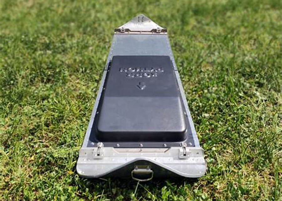
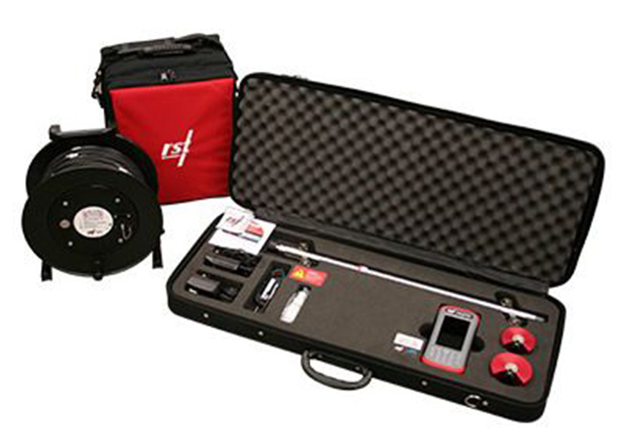
sTEM unit (Geoscanner)

The sTEM Profiler is a versatile instrument with an integrated receiver and transmitter, fixed loop sizes of 3×3 meters, and a 10-meter separation. It can investigate depths up to 150 meters, powered by two 14.4 V lithium batteries. Designed for portability, the system weighs 14.6 kg and comes with shipping boxes suitable for airplane check-in. Connectivity is provided via Wi-Fi, and the product offers detailed specifications, functionality insights, updates, and robust support for an enhanced user experience.

The sTEM Geoscanner excels in efficient and reliable groundwater surveys, capable of reaching depths beyond 500 meters. It's affordable, robust, and operated via an Android or iOS app, providing valuable insights into groundwater resources. The geoscanner supports efficient surveys with a high transmitter capacity for extensive area coverage per station. Weighing approximately 17 kg, it includes a transmitter wire and receiver cable, and can be easily transported as airplane check-in luggage. With Wi-Fi and internet connectivity, it allows seamless data upload and remote support.

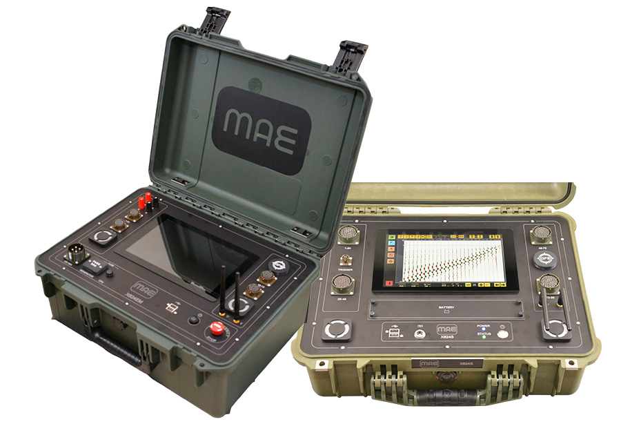
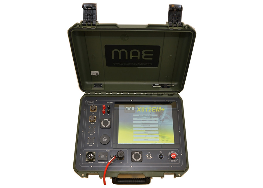
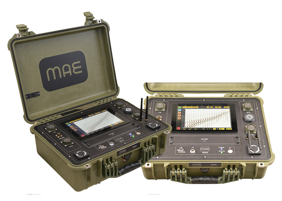
The sTEM 5, 10, and 20 instruments are portable geophysical survey tools featuring a dual moment system for both shallow and deep data. They integrate transmitter and receiver hardware with adjustable loop sizes (20 x 20 m, 40 x 40 m, 80 x 80 m) and active current regulation (1 A, 5/10/20 A). The instruments offer investigation depths up to 500 m and are powered by lithium batteries for a full day's operation. Weighing around 17 kg, they are designed for portability and easy transport. Connectivity via Wi-Fi and internet allows for remote support and cloud uploads, with operation via Android and iOS apps. Key features include noise suppression, real-time data stacking, sign correction, and data inversion for efficient surveys.

Atoms Proton Magnetometer V5

The ATOMS Proton Magnetometer v4 is a scientific instrument designed to measure magnetic field intensity with precision. It features two primary operational modes: Graph Mode (1D) for recording and visualizing magnetic data along a single dimension, and Grid Mode (2D/3D) for mapping magnetic variations across larger areas. The device includes a main unit, a proton sensor, and an assembling staff, requiring setup and charging before use. It integrates with software for data connection, visualization, and recording, making it highly versatile for applications such as geophysical surveys, archaeology, and environmental research. These capabilities make the magnetometer suitable for detecting and analyzing variations in the Earth's magnetic field.

DIGITAL MEMS PORTABLE INCLINOMETER SYSTEM

For measuring lateral deformation in earth and retaining structures using inclinometer casing, the Digital MEMS Inclinometer System from RST Instruments was the first, and is still the best, Digital MEMS Inclinometer System available.

Since 2003, RST’s Inclinometer systems have the shortest overall length available for a given base length compared to competitive inclinometers. With a minimum negotiable casing radius of 1.93 m, RST’s Digital MEMS Inclinometer can traverse a smaller radius bend than all other inclinometers available in the industry. A local microcontroller in the probe manages data collection, applies precision digital calibration, and provides a fast settling time which results in very efficient data collection

vibrating wire piezometer

A vibrating wire piezometer is used to measure pore water pressure in the soil, earth/rock-fill foundations, and concrete structures.

Vibrating wire piezometer finds its applications in the measurement of positive or negative pore pressure in the soil, concrete mass, or rock which also includes:

- Construction control, stability investigation, and monitoring of earth dams, embankments, foundations, shallow underground works, and surface excavations.

- Uplift and pore pressure gradients in foundations, embankments, abutments, and fills.

- The hydrological investigation, groundwater elevation study, and water supply operations.

Waste and environmental applications
- Soil improvement & stability and slope stability

Let’s Start a Conversation!

Reach out to us for inquiries, consultations, or more information about our services.
Ipoh Headquaters
29 & 29A, Laluan Meru Perdana 11,
Taman Meru Perdana 2,
31200 Chemor,
Perak.
019-5161 188
admin@csmegeohammer.com
Selangor Branch​
19-1, Jalan Aman Sinaria 7,
Bandar Tropicana Aman,
42500 Telok Panglima Garang,
Selangor.
019-5161 188
azie@csmegeohammer.com
Sarawak Branch​
Lot 1988, 1st Floor Marina
Parkcity 2,
98000 Miri,
Sarawak.
019-5161 188
contact@geohammer.com.my
Copyrigh 2025 © Geohammer Sdn. Bhd. All rights reserved